I write a regular column for each issue of ArcNews called
Scientific Currents. A similar version of the essay below for the Summer 2025 issue was NOT allowed to go to press. Hence, I must declare that the views presented here, and my
insistence upon stating them, are mine alone.
Uncertainty is one of the most longstanding challenges in geographic information
science, stretching back to the very first research initiative in 1992
on "Accuracy of Spatial Databases" of the National Center for Geographic
Information and Analysis or NCGIA. The problem endures to this day as to
how best to deal with the uncertainty known to be present in spatial data of all
kinds, but also how best to track, visualize, and remove uncertainty that no
doubt cascades and propagates through GIS workflows.
A different kind of uncertainty is upon us in 2025, and with grave implications
for the scientific community. These are not normal times, and they are unprecedented
in all of American history. We have seen efforts in the past to shrink the size,
role, and budget of the government, but never such wanton disruption at all levels
via a flood of directives and executive orders that also push the boundaries of
legality and constitutionality.
A so-called Department of Government Efficiency (DOGE), led by someone not elected,
appointed to or vetted for any government post, has slashed funding for scientific
agencies and museums, defunded a host of national laboratories, and crippled
international scientific collaboration among governments in the process. It
has enacted new rules making it easier to fire government employees, including
scientists who were hired to positions on the basis of merit and expertise,
rather than by political appointment.
So much of the scientific community that Esri serves is also in higher education.
Federal dysfunction has created a level of uncertainty THERE that has
restricted hiring, restricted graduate-student admissions (especially for
international students), slowed capital spending, and locked in budget reductions.
Federal research grants have been canceled, without cause, for institutions across
the country and at levels never before seen. On some campuses, a cloud of fear and
paralysis has even set in, making it harder to plan research, mentor students,
hold or travel to conferences (including the Esri User Conference), maintain
priorities on diversity, equity, and inclusion, freely conduct peaceful and
respectful exchanges of competing ideas, or protest.
Scientists MUST be allowed to do their science as they see fit, and to come together
to share that knowledge, especially by way of the geographic approach.
In the words of the founders of the United States -- several of whom also established
the American Academy of Arts & Sciences in 1780 -- SCIENCE is how we "advance the
interests, honor, dignity, and happiness of a free, independent, and virtuous
people." The founders and all US presidents since then, save for one, have
recognized the essential connection between the pursuit of science with
deliberative excellence and democracy itself. Indeed, it is nearly impossible to
have one without the other.
During these politically volatile times rife with uncertainty, I firmly believe
that Esri remains fully and absolutely committed to supporting science and the scientific
community. This is especially on the topics of climate change, climate action,
climate resilience/adaptation, and equity, including racial equity.
These words are still all over the Esri online science portfolio and throughout www.esri.com.
To my knowledge, Esri's GIS for Climate Action
MOOC will absolutely continue. Racial equity workflows, tutorials
and other resources, such as disaggregated Census data, for community action and teaching
are still available. I firmly believe that Esri will keep supporting science as
a foundation for our future.
This will be a marathon. Amidst all of this uncertainty, how can scientists
(and the GIS community more broadly) find their their focus and choose an
effective action? I have three humble suggestions:
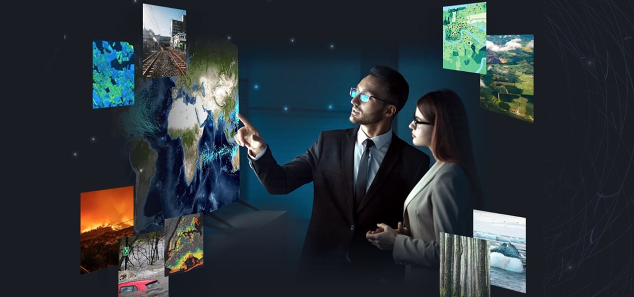
Take advantage of the power of Esri's content, including the amazing data
Esri maintains as historical record within ArcGIS Living Atlas of the World
at livingatlas.arcgis.com. It is my firm belief that Esri understands that continuing to provide
this content to scientific users in federal agency and academic spaces is
absolutely vital. It is my firm belief that Esri is committed to doing this freely and openly, and to accompany Esri's analytical tools and workflows. Additionally, Esri is participating in some data and app rescue
while also tracking much larger data rescue efforts such as those coordinated
by the MuckRock Foundation, the
Environmental Data and Governance Initiative (EDGI),
and the Data Rescue Project, as well as the work of courageous academic
librarians across the United States. Many of these initiatives are linking to
and interoperating with each other. In addition, initiatives such as
Meeting the Moment
and Grant Watch are tracking anything and everything around the US scientific funding crises and more.
Continue to believe in and implement multilateral collaborations among diverse
partners, including with state local organizations, nonprofits, academic
institutions, and public and private entities -- with all scales of communities.
Fortify these collaborations by integrating geospatial infrastructure, such as
dashboards, hub sites, and mobile apps, to enable the sharing of accurate,
truthful information. Check out some examples HERE.
Most importantly -- and I can't stress this enough -- is to "get into community"
(or stay firmly "in community").
While every action by every individual does indeed matter, so many wise (and servant-based) leaders
have also said that "change begins with individuals, but thrives in communities."
"Getting into community" means to participate in community groups, regular
gatherings, even online discussion groups around the issues you care about, such
as defending science or tackling climate change. A huge swath of the
scientific community
has flocked to Bluesky, a new social media platform providing one of
the most productive and constructive spaces for scientists to engage,
and without the disruptions and toxicity that have plagued other platforms. Many,
many GIS users, developers, and Esri staffers (including yours truly) are there. And two other communities that I personally treasure and participate in are the
Deep Ocean Observing Strategy
and the
Deep-Ocean Stewardship Initiative. See also these important insights from The Oceanography Society president Paula Bontempi.
Indeed, it is so important for us to
find our people, to interlock with another, to get rooted as a tree or coral
reef would. We have to help each other not only to survive, but to THRIVE.
The American journalist Karen Attiah uses a great analogy: "When a hurricane
[or typhoon] is forecast, do we tell people to stay outside and fight the
wind and water? NO! We tell them to board their houses, gather supplies,
get emergency kits, and seek higher ground, because we want to survive." We
have to help amplify each other's voices and draw superpowers of hope and
action from the knowledge that we are not in this alone. Community is so
very important, not only around science, but the forms of oppression that
bring (and seek to normalize) the death and suffering of women, of Black and
brown people, of poor people, LGBTQ+, and the disabled.
A great way to get into community, foster collaboration, and capitalize on Esri
content is coming up soon at the Esri User Conference (UC). The
Science Summit -- which takes place
on Tuesday, July 15, 2025 from 4:00 p.m. to 6:30 p.m. in Ballroom 20D of the
San Diego Convention Center -- aims to build camaraderie among Esri UC attendees
who are interested in science, how science informs the pressing issues of the
day, and how it intersects with the evolution of geospatial technology.
Admission to the Science Summit is included with Esri UC registration at no
additional cost, though it is one of several focused events that require
a reservation. So if you would like to attend, once you register for the
conference, add the event to your schedule to save your spot. If the summit
is full, you can join a waitlist.
Dawn Wright holds a courtesy faculty appointment as Professor of Geography and
Oceanography in the College of Earth, Ocean, and Atmospheric Sciences at Oregon State University. Her research interests include seafloor mapping and
tectonics, ocean conservation, environmental informatics, and ethics in information
technology. She is an elected member of the US National Academy of Sciences,
the US National Academy of Engineering, and the American Academy of Arts & Sciences.
Dawn is also
very much into road cycling, the Indiana Fever, apricot green tea gummy bears,
18th-century pirates, her dog Riley, and SpongeBob Squarepants. Follow her on Bluesky @deepseadawn and on LinkedIn @deepseadawn.